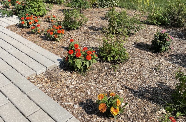
In the Fall of 2020, I was hired to serve as the Built Environment Intern through the Sustainability Internship Program, facilitated by the Office of Sustainability. Through this internship, undergraduate students participate in independent and faculty research and applications into sustainability within their field on campus. My position focuses on the built aspects of our environment including the buildings, landscapes, and feelings we have in the man-made spaces on campus.
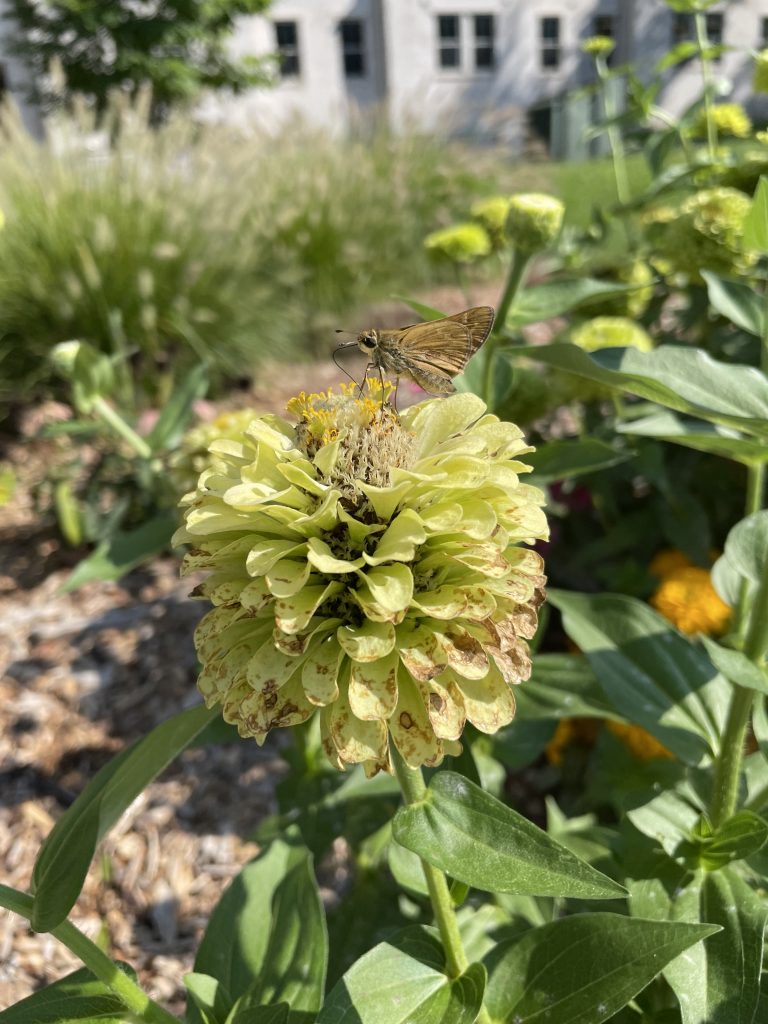
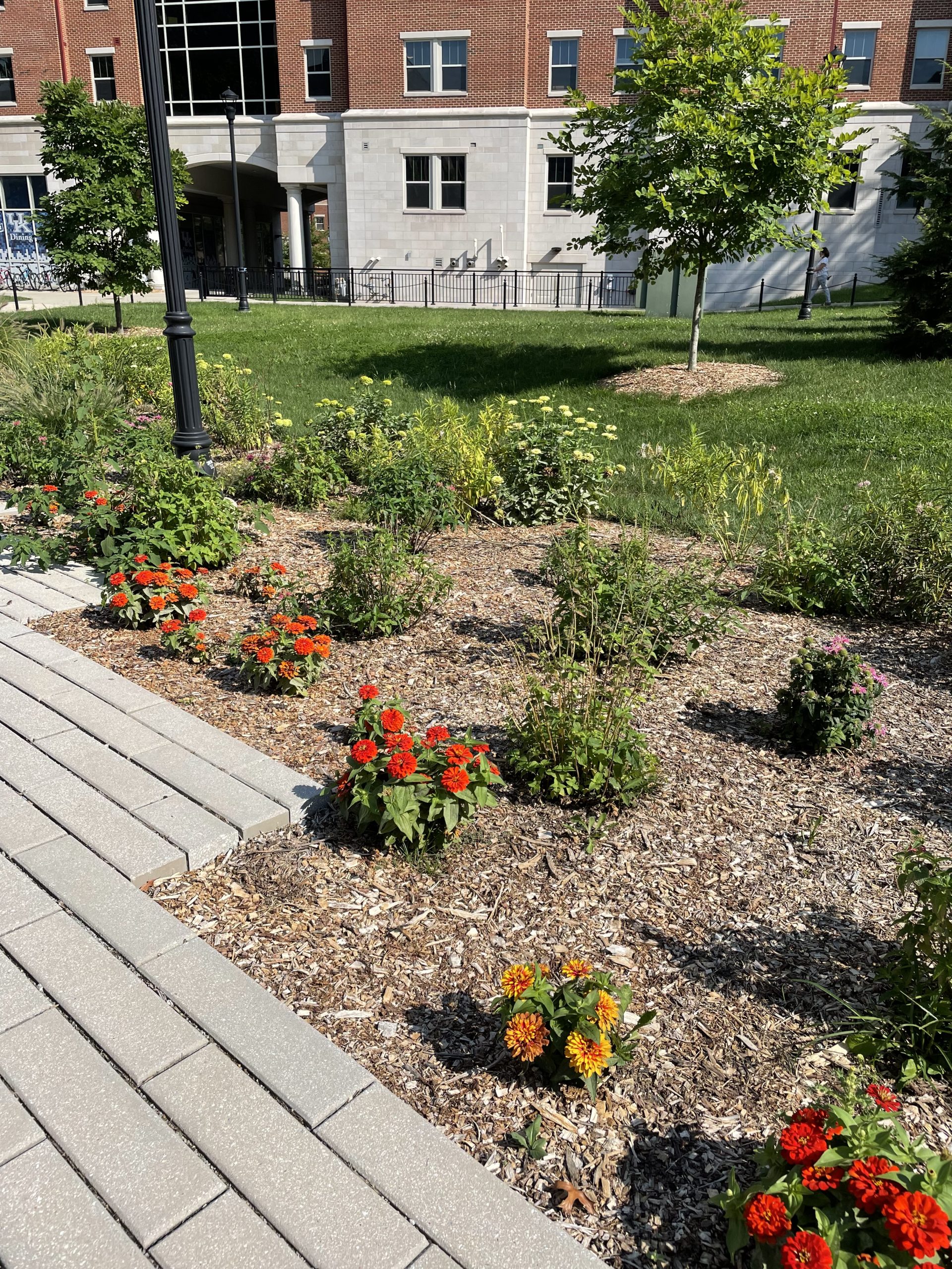
I was always interested in pollinator plants and animals, and coming from a background in Biology and Environmental and Sustainability Studies I wanted to incorporate pollinator conservation into my independent work. When I began to ask about the existing pollinator gardens on campus, few people knew where all of them were located, and no one could show me on a map how the habitats were connected. I decided that to determine where future pollinator gardens should be implemented to increase habitat connectivity, I needed to create the map I had been wanting.
I began this task of evaluating existing gardens in pursuit of identifying where each current garden was located. I did this by walking the extent of the main campus and Arboretum over one weekend. When I found the pollinator garden, I marked it on a printed map of the main campus. I then inventoried the number of different plant species located at each site. The number of different plant species allowed me to determine the biodiversity of each site, typically the more biodiverse the pollinator plant selection, the more pollinator fauna they can support. I also took into account the health of each garden. I looked at the height, number of flowers on each plant, and the appearance of plant leaves to estimate the overall health of the garden. Finally, I used Google Earth Pro to estimate the square footage of each garden.
Once all of the data was compiled onto a spreadsheet, I confirmed with the UK Grounds team and other stakeholders that all the gardens that had been, and were in the process of being constructed, had been documented. This data was then analyzed in ArcGIS to create a map of all the pollinator gardens on the University of Kentucky Main Campus as of May 2021. This map shows the specific location of each garden, divides the gardens by size, and combines biodiversity and health measurements to estimate garden quality.
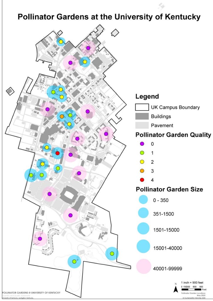
This map clearly shows the gaps in connectivity among pollinator gardens on campus. It also highlights existing gardens that may need additional maintenance to increase their effect on pollinator species. This map helped lead to my partnership with the Department of Biology to create a 6,800 square foot garden located in the Jacob’s Science Building Courtyard. This garden highlights the multidisciplinary approach that can be taken by those with little design experience to create ecologically diverse and easy to maintain gardens on campus. The Jacob’s Science Building garden also hosts eight research plots in which student researchers and Ecology lab students can conduct experiments to further our understanding of pollinator species.
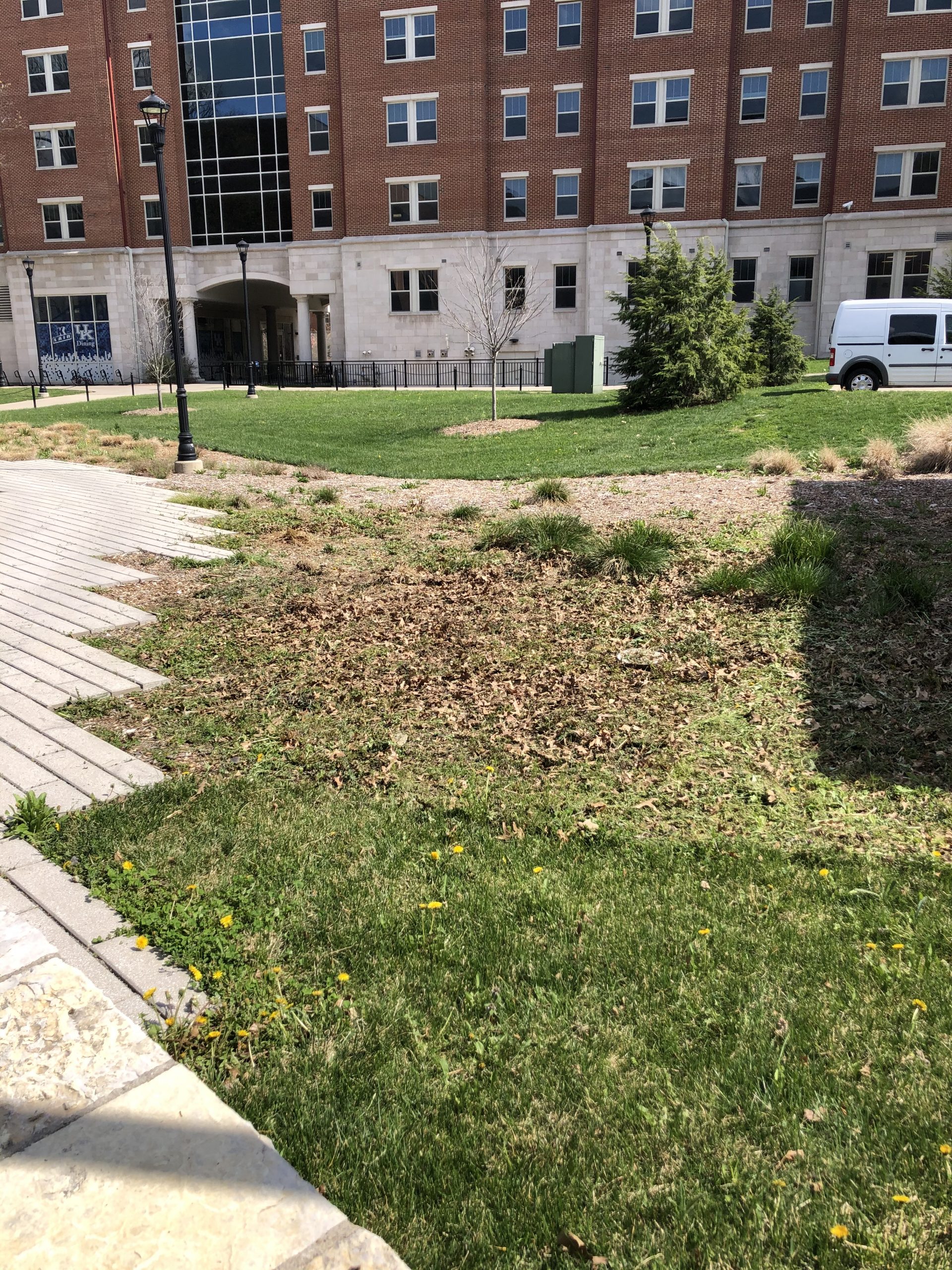
I hope that this map will become a living document that will be expanded upon in the future and more people get involved in pollinator garden construction, research, and conservation at the University of Kentucky.

Take a walk around campus this Spring and see what’s happening in UK’s pollinator gardens!

